
Your CRA's map, built free
BusinessFlare® GIS currently maps 39 CRAs in Miami-Dade, Palm Beach, Martin, Broward and Polk counties. If yours is not one of them, ask and we will build it at no cost.
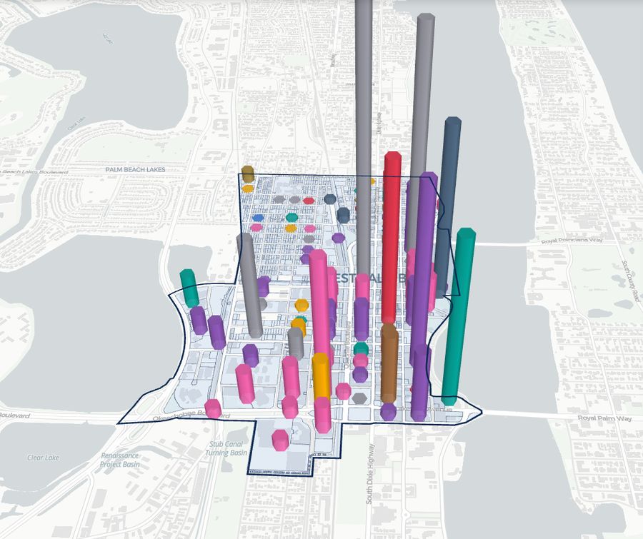
- Every parcel by land use, ownership, building age, recent sales, public land and underused sites.
- Residential value split between homestead and non-homestead, which is the district's exposure to Amendment 3.
- Jobs by sector at the census block level, businesses and closures, and what is open at any hour.
- Labor shed, broadband, regulated sites, power and infrastructure layers.
- A 3D view, PNG and PDF export, and a link you can hand to any developer.
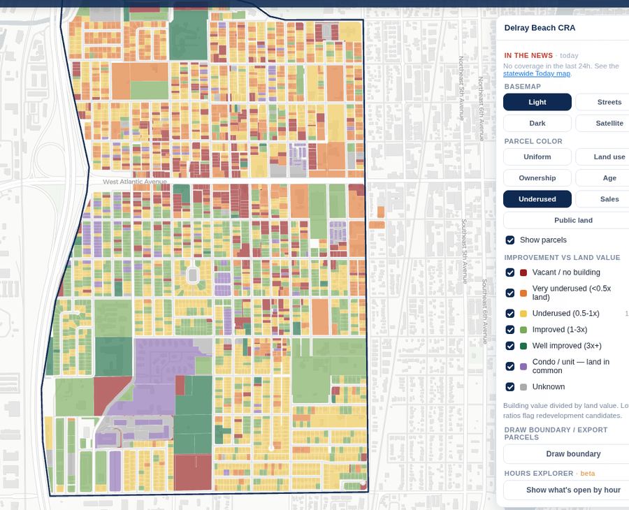
CRAs already mapped
Get all three for your CRA
Tell us which CRA you run or serve, and we will start with your map.